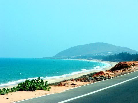
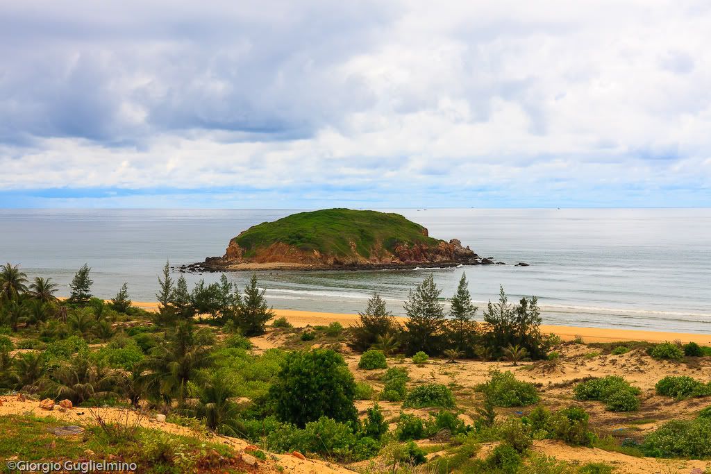
The topography of the province can be divided into three regions: mountains, plains and coastal areas. More than 192km long coast (from Cape Ca Na armor dead - Ninh Binh Thuan Chau to warp - Ba Ria Vung Tau), with many branches crashing into the sea mountains that make up your nose: La Gan, Small Nose, Nose Straw, Nose Ne, Ke Ga, divided into the concave coast, arch, creating areas of estuaries as well as: La Gan - Phan Ri, Mui Ne - Phan Thiet, La Gi. The seashore is 23 km ² island of Phu Qui wide land bridge between the Spratly Islands.
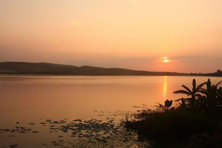
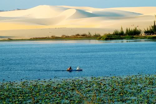
The river flows through the province are La Nga River (from Di Linh plateau down Bien Lac Lake), Quao River, The River, River Palace ... Tropical climate, less influenced by the northeast monsoon, the heat and drought. The annual average temperature 26 º C - 27 º C, average annual rainfall 800 - 1.150mm.


0 Comments: